

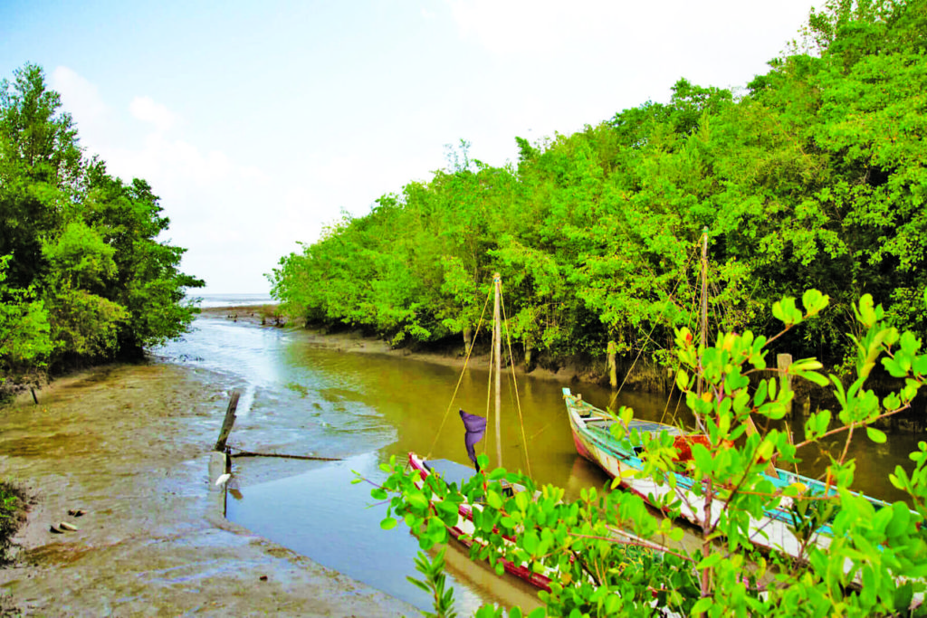
Mangroves are considered Guyana’s natural sea defence and are essential in providing several eco-system services. In fact, studies have shown that mangroves provide about five to 10 times more carbon storage than terrestrial forests. And given Guyana’s low carbon development trajectory, mangroves are pivotal in this regard.

In keeping with this thrust, a national mangrove monitoring platform will be established this year to foster a better understanding of the factors affecting their depletion, and other methods aimed at advancing technology to accomplish the Government’s agenda.
The platform is the result of a partnership between the National Agricultural Research and Extension Institute (NAREI) and the International Center for Tropical Agriculture (CIAT).
The parties signed a Memorandum of Understanding (MoU) in December 2020, which also caters to a Geographic Information System (GIS) consultant at NAREI.
Coordinator of the Mangrove Restoration and Management Department, Kene Moseley, during a recent interview with the Department of Public Information (DPI), said while the Department utilises GIS software to monitor mangroves, its capacity is currently limited to its restoration sites.
She said to plan effectively, there must be an understanding of what is happening along the entire coast, and the only way to achieve this is by using enhanced technology. “Remote sensing technology and that is what we are going to be having with this project.”
Moseley added that currently, the restoration activity is being monitored to determine the success of the intervention, the survival rate, how the seedlings are growing, and the ability of the forest to extend linearly in terms of colonising the neighbouring village.
“As long as you have a forest that is healthy and providing seeds, and the neighbouring sites if there is no mangrove there and the site conditions are suitable, they would colonise naturally. That is what we’re looking for, a successful restoration activity,” she added.
Moreover, she pointed out that the new intervention will also provide an understanding of the impact of the restoration initiatives. “It’s not just that we would have restored, for instance, Better Hope, but as a result of restoring Better Hope, you have a significant natural regeneration happening at Plaisance, Sparendaam going all the way to Ogle.”
“Now that we are going to be able to use the technology and remote sensing combined with the GIS, we are going to be able to do that analysis to provide information, not just for us, but the Government as well, and give us better tools with regards to planning our future restoration initiatives,” she continued.
In 2020, the Department focused on creating a suitable environment for mangroves to be restored at Anna Regina, Essequibo, and Beterverwagting and La Bonne Intention, East Coast Demerara.
Moseley explained that the elevation at those locations was not sufficient for mangroves to colonise the areas.
“At Anna Regina, we completed construction of a 200-metre geotextile tube groyne and the function of that structure is to increase sedimentation and thereby reaching the suitable elevation so that mangroves can be restored.”
“At Beterverwagting and La Bonne Intention, the project we are working there are groynes as well but we are using a different material. We do research to see which material works best, and on the East Coast we are working with rocks or boulder.”
She stated that significant progress was made at the La Bonne Intention lot which was about 85 per cent completed by the end of last year. The COVID pandemic resulted in some setbacks in the supply of rocks for the Beterverwagting lot which the Department is hoping to complete this year.
Discover more from Guyana Times
Subscribe to get the latest posts sent to your email.