
…GDF’s Coast Guard responded within minutes of distress signal
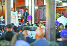
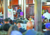
The Commission of Inquiry (CoI), established to investigate the July 18 MV Barima tragedy, commenced its substantive public hearings on Wednesday with the revelation that the emergency beacon onboard the ferry vessel was not registered at the time when it capsized and sank.
The beacon is a radio instrument that transmits distress signals from an aircraft or a marine vessel. An Emergency Position-Indicating Radio Beacon (EPIRB) is used on maritime vessels. When a distress signal is received, responders would match the unique identification code of the beacon to the registration records, which would have the details of the vessel as well as its owner and emergency contacts.
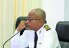
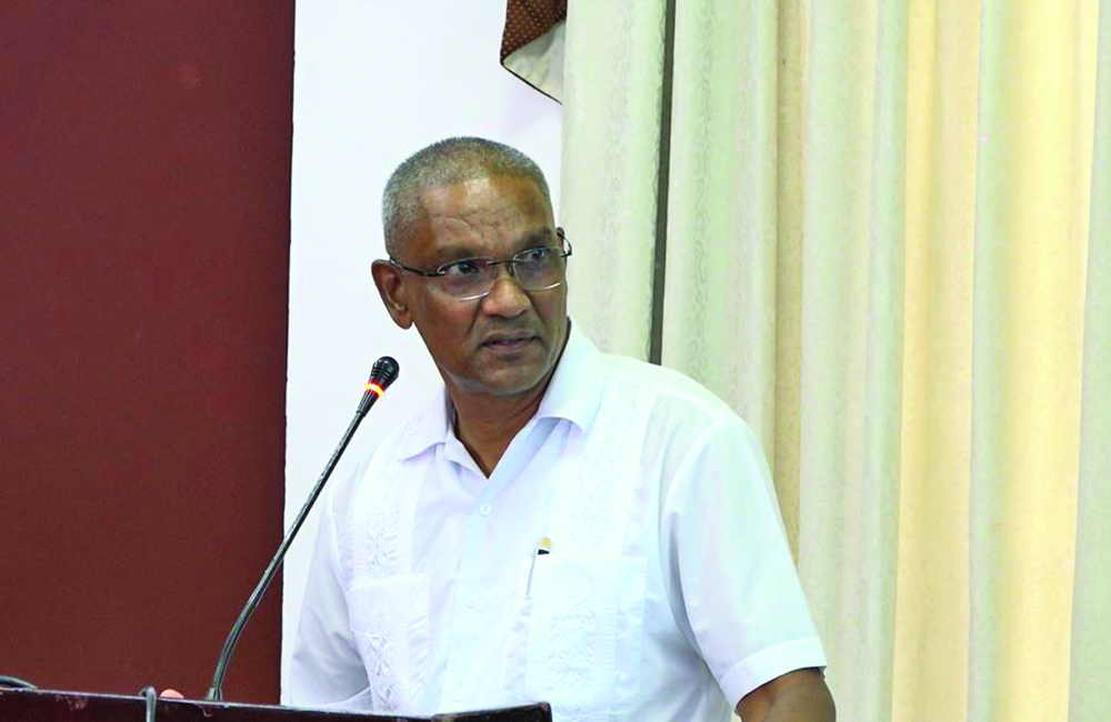
However, the Director of the Air Navigation Services at the Guyana Civil Aviation Authority (GCAA), Rickford Samaroo, disclosed that the beacon on board the MV Barima was unregistered. Hence, despite an immediate mobilisation of resources, operators were unable to immediately identify which vessel the distress call came from on the night of the July 18 incident.
Appearing as the first witness before the Commission on Wednesday, Samaroo explained that Guyana uses COSPAS-SARSAT – an international satellite-based search and rescue system designed to detect and locate emergency distress beacons. He said Guyana receives satellite distress alerts at the Timehri Control Tower Complex through an arrangement with the United States Mission Control Centre (MCC) based in Maryland.
EPIRB transmits on the 406 MHz frequency through the COSPAS-SARSAT satellite search and rescue system, and its distress signals are activated manually or automatically, depending on the design of the beacon.
According to the Samaroo, he was alerted to the incident around 01:00h on July 19 after receiving a phone call from the GCAA’s Director General, Egbert Field, who informed him that a vessel might be in distress, and approval was given for two aircraft to respond from the Eugene F Correia Airport.
Samaroo recalled contacting the control tower at Timehri afterwards to inform them of the aircraft authorisation, and it was during that call he was told about the distress signal coming in at 22:43h on July 18 – more than two hours earlier. The Head of Air Navigation Services explained that the staff were not required to immediately notify him of a distress unless it is aviation-related. He said that he was subsequently informed that the vessel was located and a rescue operation was in progress. The Air Navigation Services Head noted that the aeronautical search and rescue centre was activated and continued to provide support to the Maritime Administration’s (MARAD) rescue coordination centre. That aeronautical support, he said, continued until 16:40h on July 19, after which the centre remained on standby.
Not registered
However, it was under questioning by Commissioner Nyree Dawn Alfonso that Samaroo disclosed that the MV Barima was also unregistered.
“From our search, it wasn’t registered,” the Director of Air Navigation Services stated.
He further indicated that while a distress signal was received, the operators at the Control Tower could not determine which vessel it came from. In fact, he noted that it wasn’t until around 04:00h on the morning of July 19 that he was informed it was the MV Barima that was involved in the incident.
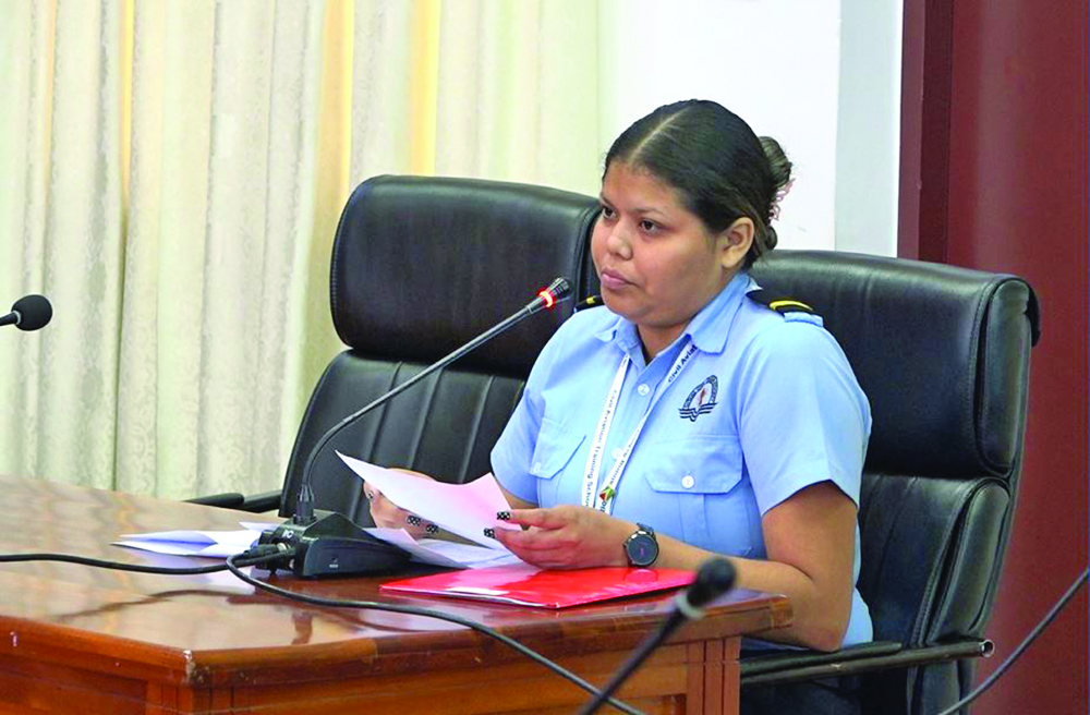
A similar testimony was given by an Aeronautical Information Service (AIS) officer, Tia Valenzuela, who was on duty when the distress call came in at 22:43h on July 18.
Responding to questions from Commissioner, Rear Admiral (Retired) Hayden Pritchard, Valenzuela indicated that she could not recall the time when she became aware that the distress signal came from the MV Barima.
The AIS officer, who was alone on duty at the time, provided the CoI with a chronological account of the distress message received via the aeronautical message-handling system. She testified that the first alert message came in from the US MCC at 22:43h, and she immediately started mapping the coordinates to send off to the emergency responders.
The Coast Guard responded within minutes
According to Valenzuela, the location coordinates were sent to the Guyana Defence Force (GDF) Coast Guard via WhatsApp from her work phone within minutes after receiving the message. She said at 22:51h the coordinates were sent to the Coast Guard, who responded at 22:52h.
During this time, the AIS officer said the Tower continued to receive updated messages from the US MCC, which she also passed onto the Coast Guard. At 23:13h, Valenzuela said she received a response from the Coast Guard that they have deployed assets to the coordinates’ location.
The WhatsApp messages between the AIS officer and the Coast Guard were tendered into evidence.
Though she was alone on duty that night, Valenzuela said, “It wasn’t hard, but it’s just that I had multiple things to do at one time… It’s all part of the process.”
The CoI into the MV Barima tragedy continues today at the Arthur Chung Conference Centre (ACCC), Greater Georgetown.
Justice Godfrey Phillip Smith is chairing the inquiry alongside Commissioners Alfonso, Pritchard, Captain Hamada Fouda and Dr Andrzej Jasionowski. They are supported by Counsels, Attorneys Teni Housty and Arudhanath Gossai.
On July 18, the MV Barima capsized and sank off the Essequibo Coast while en route to Port Kaituma Region One with 179 people on board. While 76 persons survived the horrific boat accident, 73 persons have been confirmed dead, and another 30 remain unaccounted for.
Discover more from Guyana Times
Subscribe to get the latest posts sent to your email.