

The Central Housing and Planning Authority (CH&PA) says it has been improving the delivery of its services with the use of Geographic Information Systems (GIS).
The entity’s GIS analyst, Malini Jaikarran said the use of this service will help to improve the development, manage operations and update policies and decision-making processes. Jaikarran was delivering a presentation on Wednesday at a ceremony to observe Geographic Information Systems Day, hosted by the University of Guyana.
According to Jaikarran, the application of drone imagery and GIS is being utilised in the spatial planning and monitoring of CH&PA’s hinterland housing project. It is
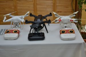
also used for planning control and detecting breaches to site development standards within communities. It also helps the CH&PA to identify boundary disputes.
“With regards to monitoring our sustainable hinterland housing programme, it was deployed in Regions One, Nine and Seven. The CH&PA was able to monitor the progress of infrastructural work in the region. The drone imagery provides data that does not otherwise exist,” she is quoted by the Department of Public Information as saying.
According to Jaikarran, the CH&PA has collected drone imagery for a number of areas, including the housing developments in Sophia, Greater Georgetown; La Parfaite Harmonie on the West Bank Demerara; and the East Bank Demerara, spanning from Eccles to Grove.
Jaikarran said the CH&PA will also use the spatial planning to address the regularisation of squatter settlements.
Discover more from Guyana Times
Subscribe to get the latest posts sent to your email.